Live ship map
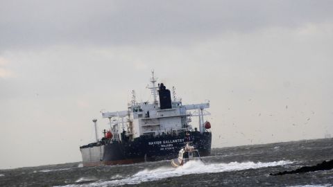
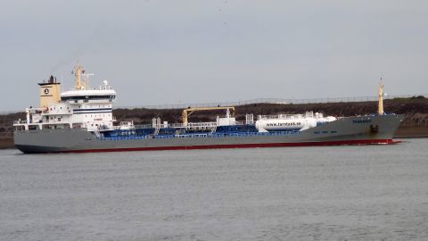
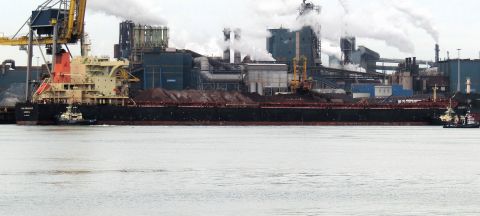
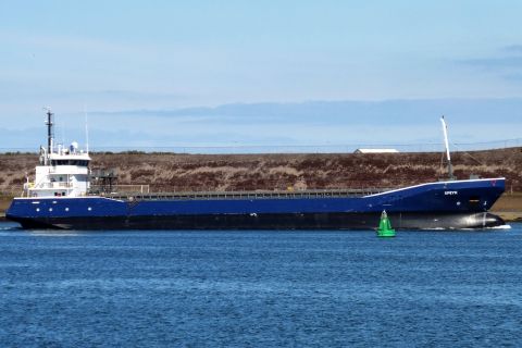
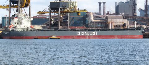
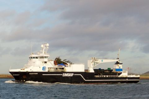
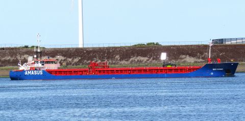
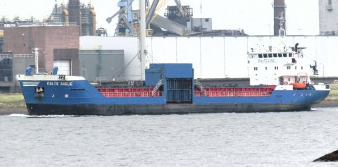
Ships worldwide from AIS, updated every 10 minutes. Click on a ship for details and, if we have photographed it, our photos.
Data: AISHub contributors · not for navigation
Map: © OpenStreetMap · Coverage: land-based receivers; there are gaps on the open sea.
Currently on the map: 49,792 ships
- Pleasure craft 14,970
- Cargo ship 9,742
- Other 7,515
- Tug 5,557
- Tanker 4,475
- Passenger ship 3,847
- Fishing vessel 3,112
- High-speed ferry 574
Busiest ports in the next 24 hours
Frequently asked questions
How up-to-date is the ship map?
Positions are sourced from AIS, the system ships use to broadcast their position, course, and speed. We update the map every 10 minutes using data from AISHub, a network of volunteer receivers, including our own receiver in IJmuiden.
Why do I see fewer ships on the open sea?
AIS signals are picked up by land-based receivers. Coverage is good along the coast and in ports, but there are gaps far out at sea. Satellite receivers are required for those areas.
What do the colors and shapes mean?
Each color represents a ship type, such as cargo ship, tanker, or passenger ship. An arrow indicates a moving ship in its direction of travel, while a dot represents a ship that is stationary or moored. Ships with a blue border have been photographed by us: click on them to see our photos.
Can I search for a specific ship?
Yes. Type the name into the search field above the map, and the map will jump to that ship. Use the checkboxes to select which types of ships you want to see.
Can I use the map for navigation?
No. The data is intended for information and hobby purposes only, not for navigation.